|
|
Weather Alert |
| Calhoun County, WV | |||||||||
|
|
||||||||
|
Canceled 4/29/25 10:38 PM Severe Thunderstorm Warning issued April 29 at 10:27PM EDT until April 29 at 11:00PM EDT by NWS Charleston WV At 1027 PM EDT, severe thunderstorms were located along a line extending from 6 miles northwest of Cedar Creek State Park to 7 miles north of Gauley Bridge, moving east at 45 mph. HAZARD...60 mph wind gusts. SOURCE...Radar indicated. IMPACT...Expect damage to roofs, siding, and trees. Locations impacted include... Nebo, Millstone, Clay, Pratt, Bickmore, Tariff, Cedar Grove, Procious, Arnoldsburg, Glasgow, Mount Zion, Indore, Glen, Bentree, Big Otter, Orma, Harrison, Ivydale, East Bank, and Nicut. 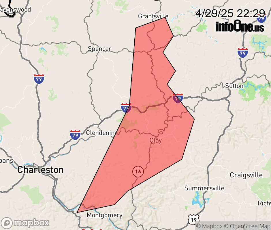 |
|||||||||
 Why aren't you using the InfoOne app? Why aren't you using the InfoOne app?
Stay abreast of information affecting your community! InfoOne tracks real-time information such as:
InfoOne currently supports over 100 communities in NC, VA and WV, and our coverage area is steadily growing. It's free! Install the InfoOne app today and see what you've been missing. |
|||||||||