|
|
Weather Alert |
| Boone County, WV | |||||||||
|
|
||||||||
|
Canceled 5/1/25 9:00 PM Special Weather Statement issued May 1 at 8:28PM EDT by NWS Charleston WV At 828 PM EDT, Doppler radar was tracking strong thunderstorms along a line extending from near Alum Creek to near Holden. Movement was northeast at 40 mph. HAZARD...Wind gusts up to 40 mph. SOURCE...Radar indicated. IMPACT...Gusty winds could knock down tree limbs and blow around unsecured objects. Locations impacted include... Charleston, Madison, Logan, South Charleston, Chesapeake, Marmet, Belle, Chapmanville, Clendenin, Cedar Grove, East Bank, Glasgow, Van, Pinch, Mount Gay-Shamrock, Coal Fork, Elkview, Chief Logan State, Alum Creek, and Julian. This includes the following highways... Interstate 79 between mile markers 1 and 2. Interstate 77 in West Virginia between mile markers 96 and 103. Interstate 64 in West Virginia near mile marker 57. West Virginia Turnpike between mile markers 80 and 95. Route 119 between mile markers 27 and 80. 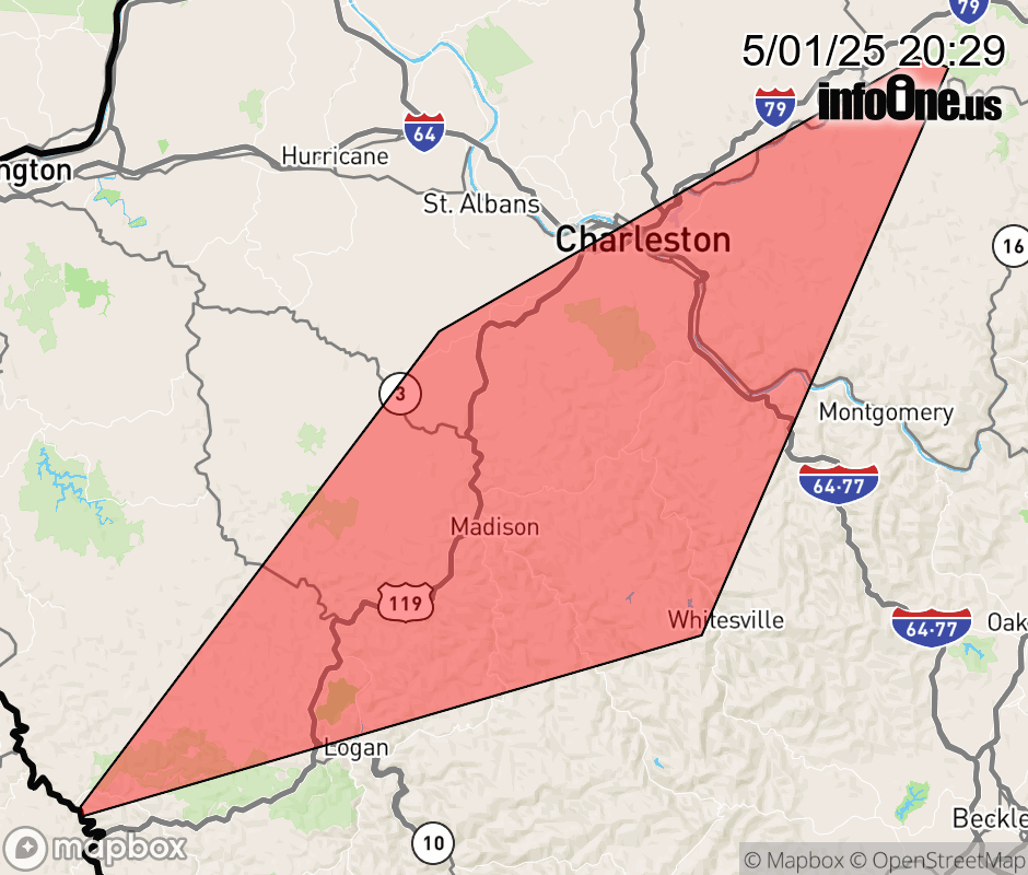 |
|||||||||
 Why aren't you using the InfoOne app? Why aren't you using the InfoOne app?
Stay abreast of information affecting your community! InfoOne tracks real-time information such as:
InfoOne currently supports over 100 communities in NC, VA and WV, and our coverage area is steadily growing. It's free! Install the InfoOne app today and see what you've been missing. |
|||||||||