|
|
Weather Alert |
| Forsyth County, NC | |||||||||
|
|
||||||||
|
Canceled 8/14/25 1:30 AM Special Weather Statement issued August 14 at 1:02AM EDT by NWS Raleigh NC At 102 AM EDT, Doppler radar was tracking a strong thunderstorm near Huntsville, or 8 miles south of East Bend, moving northeast at 25 mph. HAZARD...Wind gusts in excess of 30 mph and pea size hail. SOURCE...Radar indicated. IMPACT...Gusty winds could knock down tree limbs and blow around unsecured objects. Minor hail damage to vegetation is possible. Locations impacted include... Winston-Salem, Kernersville, Clemmons, Bermuda Run, Huntsville, Lewisville, Walkertown, Rural Hall, Pfafftown, and Belews Creek. 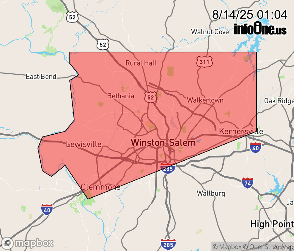 |
|||||||||
 Why aren't you using the InfoOne app? Why aren't you using the InfoOne app?
Stay abreast of information affecting your community! InfoOne tracks real-time information such as:
InfoOne currently supports over 100 communities in NC, VA and WV, and our coverage area is steadily growing. It's free! Install the InfoOne app today and see what you've been missing. |
|||||||||